Record what happened first.
Separate rainfall timing, plumbing events, surface flow, interior location, sump behaviour and recurrence. The file begins with chronology—not causation.
Safety and active-source boundaries come before documentation.Build one urban property record around rainfall, older-system uncertainty, tight access, trees, hardscape, connections and restoration—then use it to define the scope.
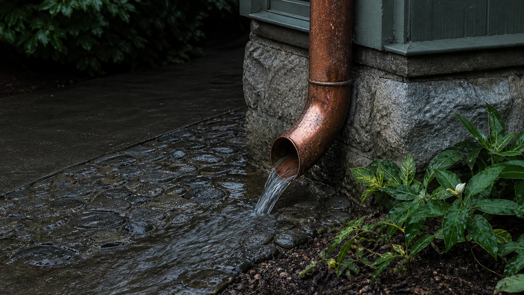
Visible moisture is an observation. Building age is a clue. A camera view is a partial record. The useful scope appears only when time, access, existing components, connection questions and restoration are organized together.
Scroll through the dossier or select a folio. Each scene changes the question, evidence register and next decision—without turning a symptom into a remote diagnosis.
Separate rainfall timing, plumbing events, surface flow, interior location, sump behaviour and recurrence. The file begins with chronology—not causation.
Safety and active-source boundaries come before documentation.Gather drawings, permits, prior invoices and alteration history. Mark visible cleanouts, sumps and possible outlets without assuming unseen material or continuity.
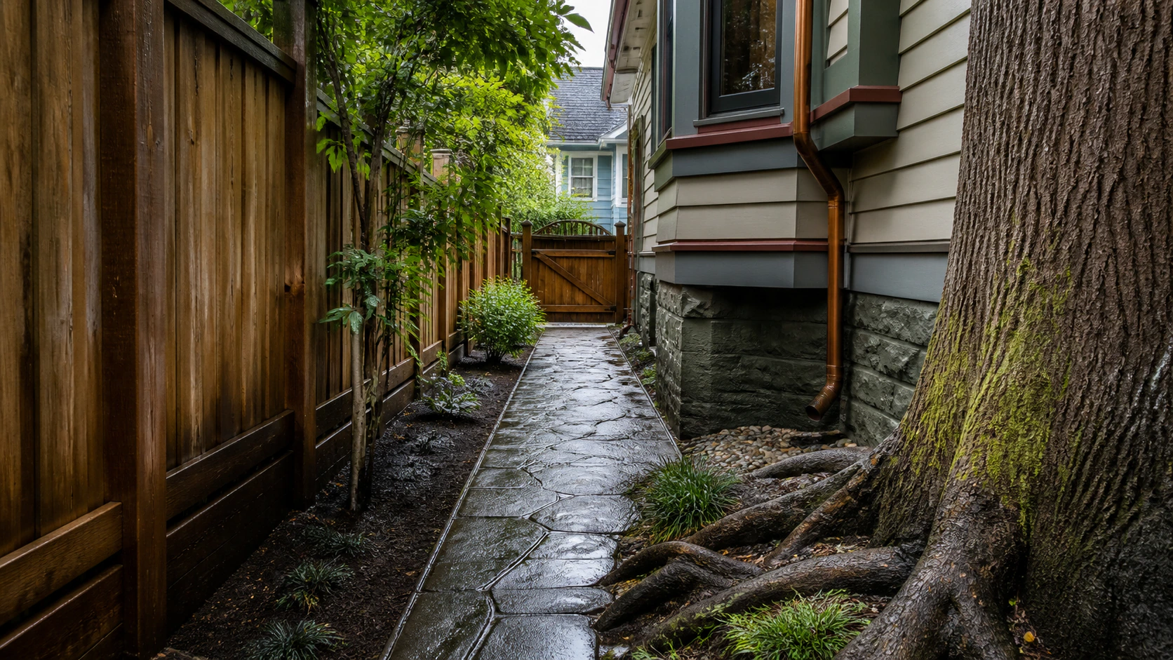
An older property can contain partial replacements and undocumented changes.Measure the clear route. Record gates, turns, overhead limits, trees, stonework, fences, shared edges, spoil space, water handling and restoration limits.
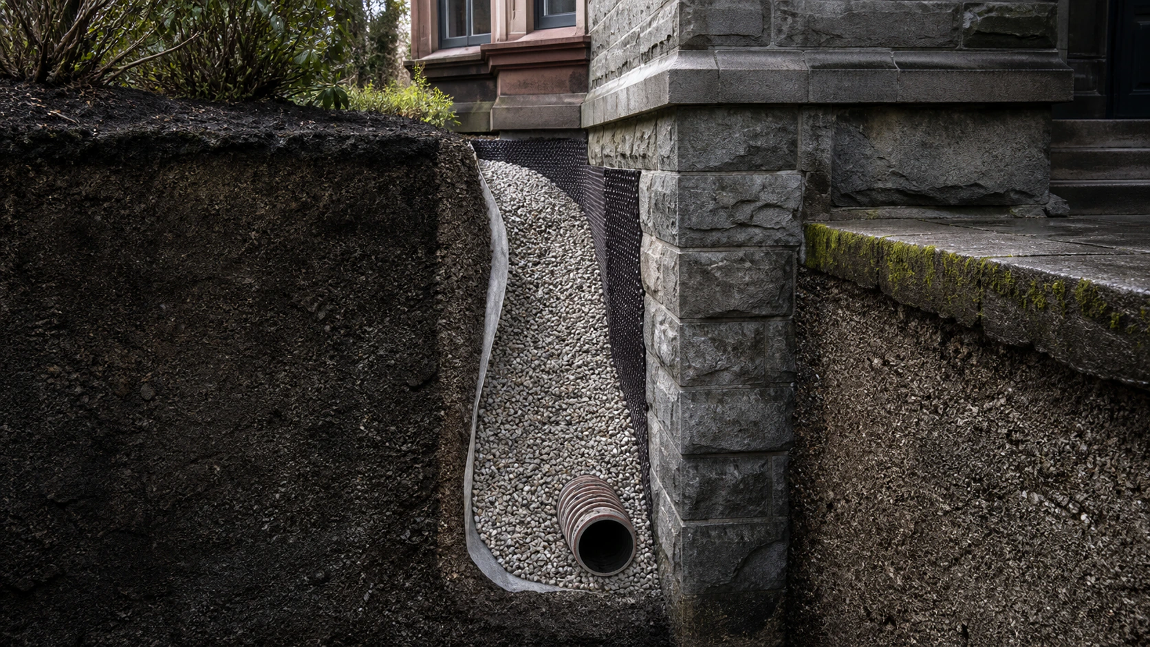
Equipment fit and cross-boundary permission cannot be assumed from a map.Connect investigation, locating, excavation, wall/interface review, drainage components, outlet, before-cover evidence, backfill and exact restoration responsibility.
Project-specific technical and City review controls the actual work.Choose the closest constraint. The archive changes what should be measured, carried into the bid and kept explicitly unresolved. It does not choose an excavation method from a browser.
Each service path answers a different job: document the symptom, identify the existing system, define inspection output, plan access, compose the assembly, or normalize proposals.
Rainfall timing, interior map, plumbing boundary, surface flow, sump activity and safe escalation.
↗ 02 / ArchiveProperty records, visible components, material uncertainty, alterations and outlet questions.
↗ 03 / InspectObjective, access, locating, method, reach, findings, images, limitations and next criteria.
↗ 04 / AccessUtilities, equipment route, trees, hardscape, neighbours, spoil, water and restoration.
↗ 05 / SpecifyInvestigation basis, excavation, wall interfaces, drainage assembly, outlet, QA and restoration.
↗ 06 / VerifyJurisdiction, City questions, measured quantities, allowances, exclusions and closeout.
↗Comparison becomes useful when both scopes identify the same investigation basis, quantities, access assumptions, below-grade interfaces, connection questions, change process and restoration limits.
The process is deliberately evidence-led. It protects the first conversation from premature answers and keeps urban property impacts attached to the drainage work.
Time, location, recurrence, safe photos and separate source questions.
Records, visible components, alterations, inspection reach and unknown routes.
Access, utilities, trees, hardscape, boundaries, water handling and restoration.
Whole assembly, outlet, City applicability, quantities, changes and closeout.
Timing, location and system questions remain separate until evidence connects them.
Records, partial replacements and unknown components do not disappear from the scope.
Trees, stone, fences and shared edges are treated as project inputs—not afterthoughts.
Quantities, assumptions, restoration and closeout can be checked on the same matrix.
This experience stays focused on City of Victoria properties. Neighbouring municipalities use different authorities. Heritage status, trees, utilities, shared property, connections and other project constraints require property-specific confirmation.
No. Moisture location and timing are observations. Active plumbing, surface flow, below-grade systems and building interfaces should remain separate questions until property-specific investigation supports a conclusion.
State the objective, access points, method, cleaning purpose, reach, location-linked observations or images, limitations, components not seen and the evidence needed for the next decision.
Additions, partial replacements, landscape work and undocumented connections can change the system. Records and visible components help form questions, but they do not confirm unseen material, continuity or outlet.
Measured clear width, turns, gates, overhead limits, utilities, tree and hardscape questions, protection, temporary removals, spoil and water handling, shared-edge permissions and exact restoration responsibility.
Its investigation basis, locating, excavation quantities, access assumptions, foundation and drainage interfaces, components, cleanouts, outlet questions, before-cover evidence, backfill, restoration, allowances, exclusions and change process.
Confirm the property is within the City of Victoria, describe the actual work and ask the City which plumbing, storm-connection or other reviews apply. Requirements can depend on the address and scope.
Share the address and concern. The next conversation can begin with the event record, existing-system questions, access constraints and restoration priorities already visible.
Discuss the property(778) 770-4661 ext. 237